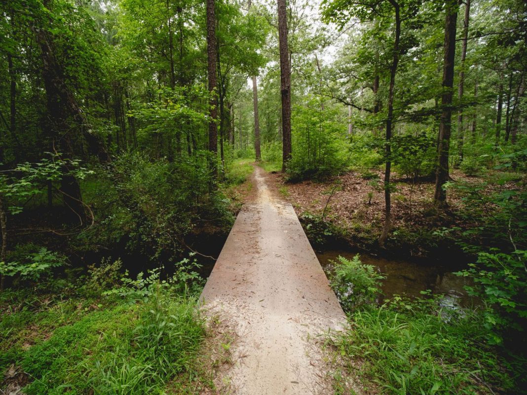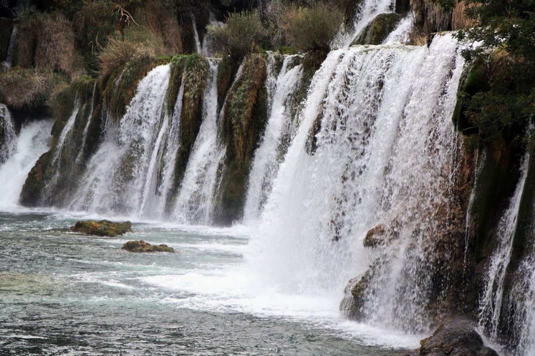

Minnesota’s waterfalls come with many kinds of walks: paved paths above a city gorge, boardwalks beside a towering river drop, and rugged trails through woods and rock. These ten spots make the route to the water part of the visit.
Gooseberry Falls
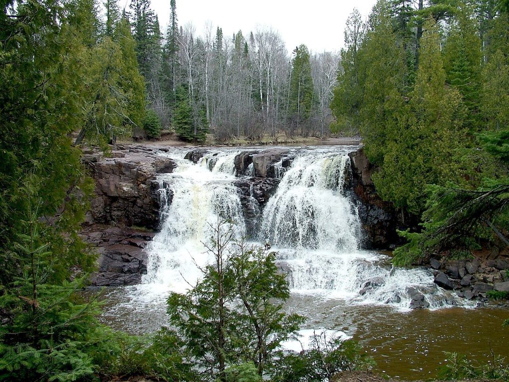
At Gooseberry Falls, the route can be as short or as involved as you like. The Waterfalls Walk takes visitors to the Middle and Upper Falls, with viewing platforms and a suspended walkway that offers a close look at the river. For more walking, the Falls View Loop adds the Lower Falls and riverside footbridges. The shorter route can be accessible if you use the designated accessible trail instead of the stairs; the longer loop is not accessible. Along the way, the changing views of water, rock, and gorge make this a walk with plenty to notice between stops at the falls.
High Falls at Grand Portage State Park
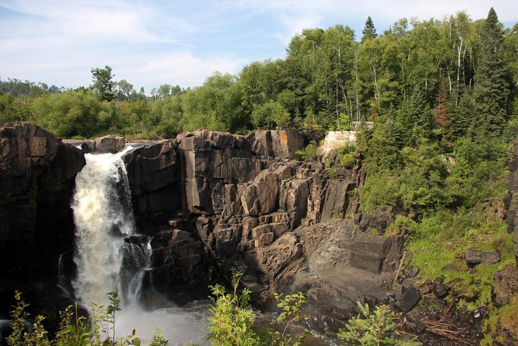
A paved path makes the approach to Grand Portage’s High Falls an inviting way to experience the Pigeon River. The round trip is about one mile, with gentle elevation changes and benches along the route. Near the waterfall, a 700-foot boardwalk leads to three viewing platforms, including one that is wheelchair accessible. The Pigeon River forms the border between the United States and Canada here, and the waterfall drops about 120 feet into a rocky gorge. The sound of the falls builds as visitors get closer, while the boardwalk keeps the final stretch focused on the view.
High Falls at Tettegouche State Park
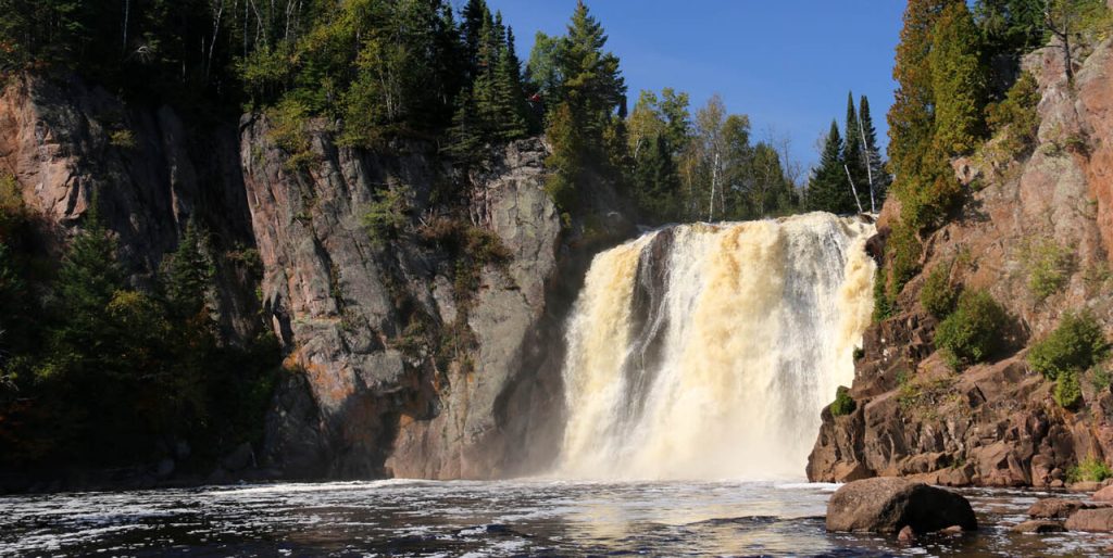
The walk to High Falls takes visitors from the Lake Superior side of Tettegouche into the Baptism River valley. The route is about 1.5 miles each way, with uneven ground, wooden stairs, gravel, and bare rock. Two Step Falls is a smaller cascade along the way, reached by a side stairway. Farther on, the 63-foot High Falls drops from the river, and a pedestrian bridge crosses the Baptism River upstream. Because the trail includes stairs and rough surfaces, it asks more of hikers than a short overlook path. The return follows the same route back to the visitor center.
Devil’s Kettle at Judge C.R. Magney State Park
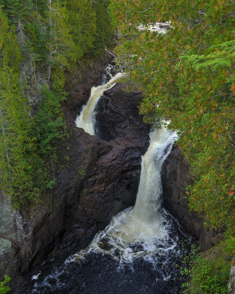
The trail to Devil’s Kettle follows the Brule River through a rugged stretch of forest, with rapids and the Upper Falls along the way. The route is one mile each way and descends about 175 stairs before reaching the waterfall. At Devil’s Kettle, the river splits around a mass of volcanic rock: one part drops into a pool, while the other pours into a large pothole. The steep elevation changes and long staircase make this a demanding hike, so the approach is an important part of the outing. Take time to enjoy the river and forest on the way rather than treating the falls as the only stop.
Cascade River Falls
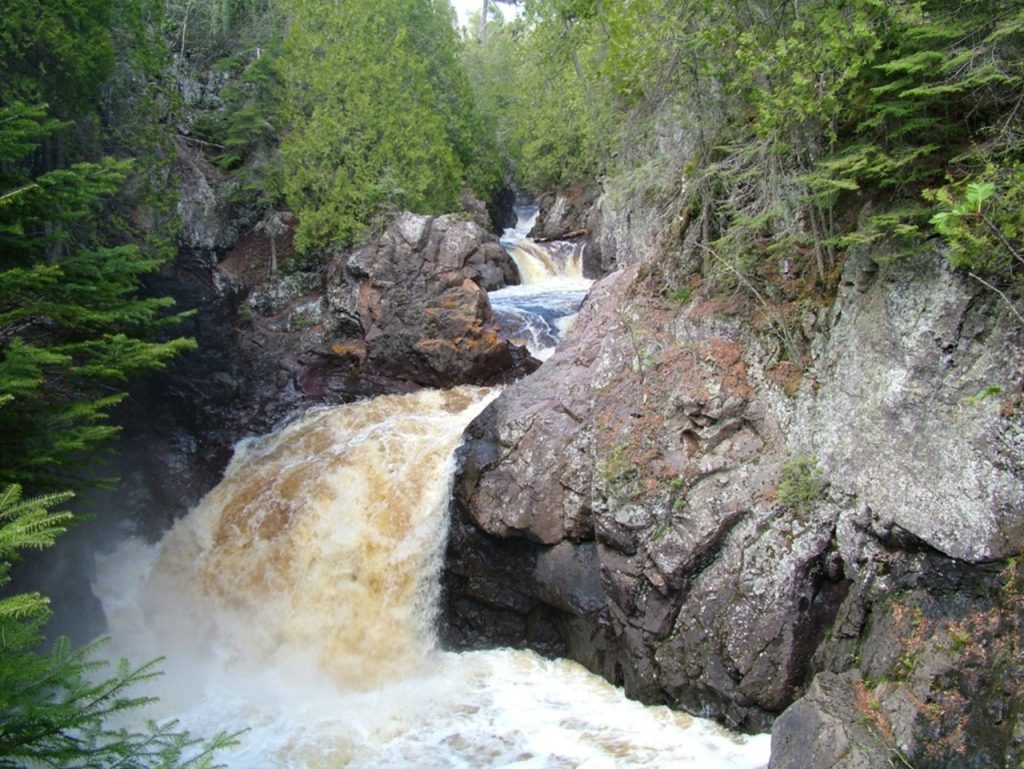
At Cascade River State Park, the name fits the walk: the river tumbles over a series of ledges and drops through a twisting gorge on its way to Lake Superior. A half-mile loop leads to five smaller cascades and Cascade Falls, with overlooks above the water and a wooden footbridge spanning the river. The trail is hilly and includes packed dirt and bare rock, so sturdy footwear is useful. The path offers several places to pause and look down into the gorge, where the river has cut through rock over time. It’s a short route with a steady succession of water views rather than a single falls overlook.
Caribou Falls
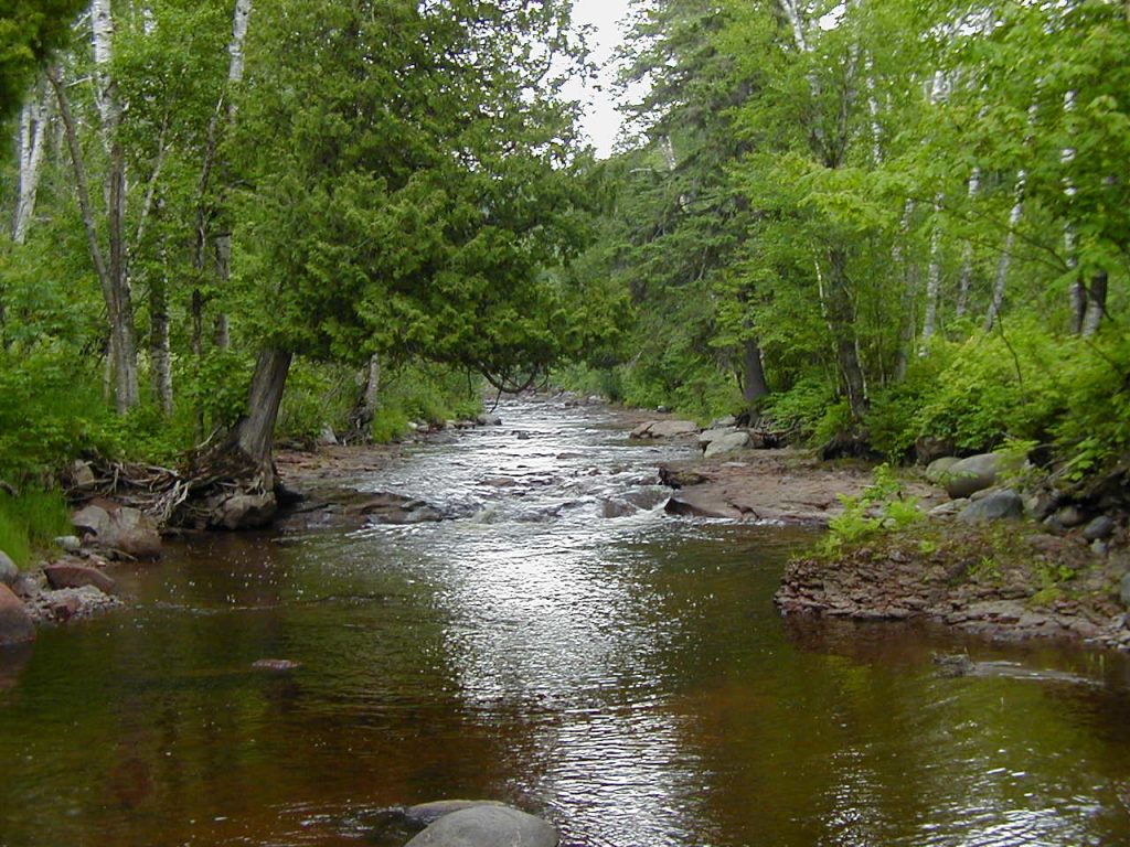
The trail at Caribou Falls State Wayside leads about three-quarters of a mile to the base of the 35-foot waterfall. As it follows the Caribou River, the route also opens onto views of the river gorge and Lake Superior, making the walk itself a highlight. This is a seasonal wayside, open from May through November, and it is not plowed or accessible in winter. The trail is a good choice for visitors who want a North Shore waterfall reached by a walk through a smaller, more intimate landscape. The river is also a designated trout stream, adding another layer to the setting beyond the falls.
Minneopa Falls

Minneopa’s double waterfall gives this walk a clear destination, while the gorge makes the short approach feel like a change of scene. The trail to the falls is about 0.18 miles one way and uses cement and dirt paths with steep stairs leading down into the gorge. Water drops first over a smaller upper fall, then tumbles about 40 feet at the lower fall. From below, visitors can take in the steep sandstone walls and the creek’s path through the valley. The climb back out uses the same stairway, so allow time to take the route at a comfortable pace. The falls are on one side of the state park, separate from the bison area.
Hidden Falls at Nerstrand Big Woods State Park
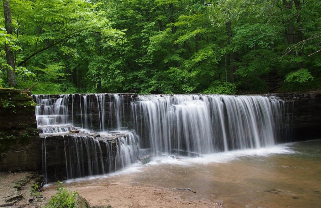
This waterfall is tucked into the woods, and the one-mile Hidden Falls loop takes visitors through the forest before descending into the valley. The route includes packed dirt, stairs, and boardwalk, with benches and interpretive signs along the way. At the midpoint, Prairie Creek flows over a limestone ledge to form the 20-foot falls. In spring, wildflowers line the route; summer and fall bring ferns and other woodland plants. The boardwalk also passes sensitive Minnesota dwarf trout lily habitat, so staying on the marked path helps protect the plants. The mix of forest trail, valley descent, and waterfall makes the walk as much about discovering the setting as reaching the cascade.
Minnehaha Falls
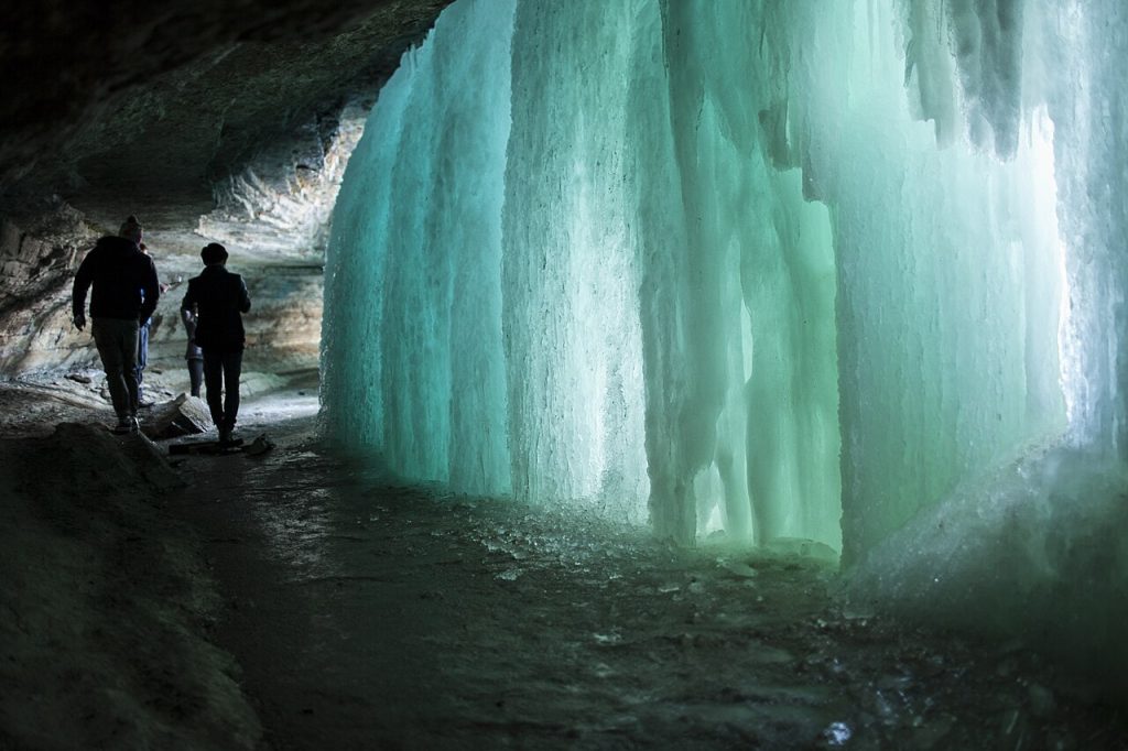
Minnehaha Falls offers a waterfall walk within Minneapolis, with paved trails running along the gorge rim and views into the ravine. Visitors can take in the 53-foot cascade from the main viewing areas, then follow paths through the surrounding park. Stairs lead down into the lower gorge, where the route brings the creek and rock walls into closer view. The trail experience here can vary: the paved rim paths offer an easier stroll, while descending into the gorge involves a stair climb on the return. Since lower-gorge access can be affected by conditions or maintenance, check local park information before planning to use those stairs.
Wolf Creek Falls at Banning State Park
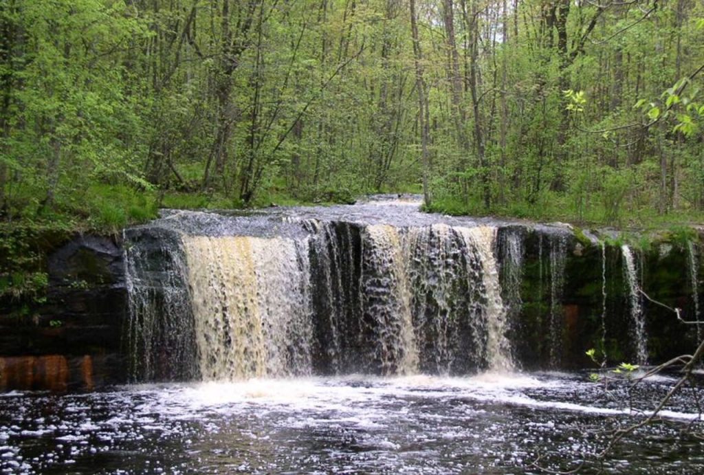
Wolf Creek Falls is a smaller waterfall, but getting there makes it a satisfying trail destination. The spring-fed creek drops about 12 feet where it joins the Kettle River. From the picnic area, the route is about 3.4 miles round trip and uses sections of the Quarry Loop, Deadman’s Trail, and either High Bluff or Wolf Creek Trail. The walk passes through a park known for its river landscape and historic sandstone quarry. Visitors can take in more than the cascade along the way, including the broader Kettle River setting. Because several trail segments connect to reach the falls, checking the park map before setting out can help with route planning.