
Minnesota does not usually get a soaking rainstorm this intense in November. But this system rewrote the record book in just a few days.
According to state and federal weather data, parts of Minnesota picked up 2 to 4 times their usual rainfall for the month, turning a normally cold, quieter stretch into a flood-prone mess. It was the kind of storm that felt more like October than late fall.
A storm that broke November expectations

The storm became the wettest November storm on record in Minnesota, according to the Minnesota State Climatology Office and the National Weather Service. In some communities, totals climbed well past 2 inches, which is remarkable for a month when precipitation often falls as light snow or a cold drizzle. For parts of southern and central Minnesota, that amount represented 200% to 400% of normal November rainfall.
At Minneapolis-St. Paul International Airport, one of the state’s key long-term climate sites, November rainfall normally averages around 1.7 inches. During this event, the airport and nearby areas saw enough rain in a short span to challenge what many places would expect for the entire month. That is one reason climatologists called the system historic instead of simply heavy.
The timing also mattered. Late November storms in Minnesota often arrive with frozen ground or at least colder air, but this system pulled in unusual warmth and Gulf moisture. That setup let rain fall efficiently across broad parts of the state instead of switching quickly to snow, which made the totals even more impressive.
Where the heaviest rain fell and why it mattered
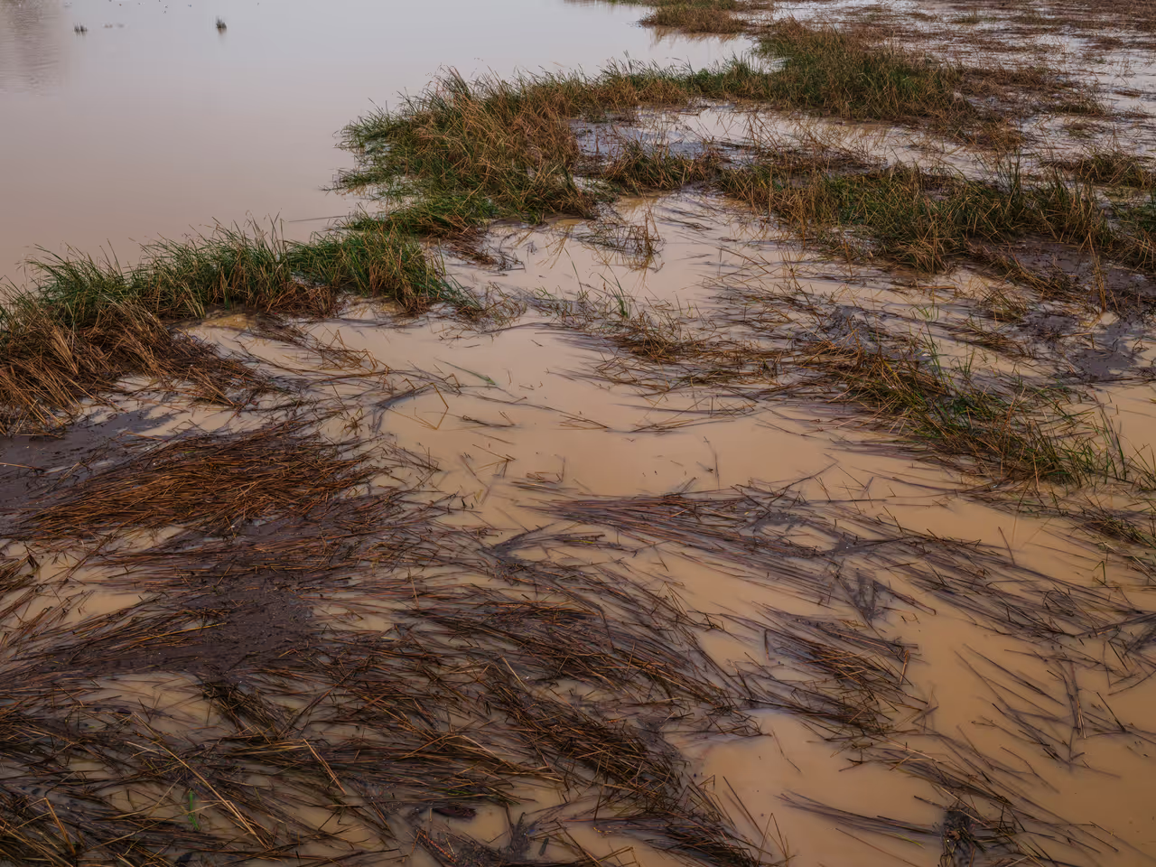
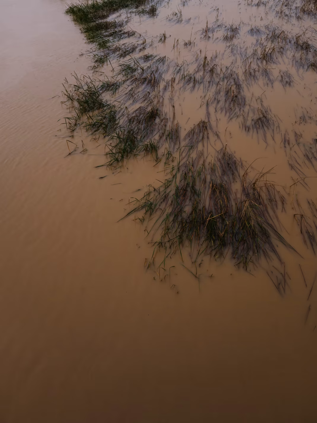
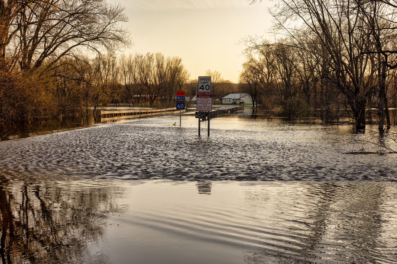
The heaviest rain focused on parts of southern, central, and eastern Minnesota, where roads, fields, and small streams took the first hit. The National Weather Service reported water over roads in some spots and sharp rises on creeks after repeated rounds of rain. In lower-lying areas, standing water became a problem fast because late-fall vegetation and saturated soils do not soak up water the way midsummer ground can.
For agriculture, the storm landed after much of the harvest season, but it still mattered. Farmers across Minnesota had already dealt with weather swings in 2024, and extra November rain can delay field work, manure application, and equipment movement. In places near Mankato, Rochester, and the Twin Cities corridor, muddy fields and drainage issues added to those headaches.
Travel also suffered. Wet roads, ponding, and low visibility created a dangerous mix, especially during commute hours and overnight periods. Even without a major snowstorm, a 2-inch to 4-inch rain event in late November can be disruptive in Minnesota because drivers and road crews are already shifting into winter mode.
What this says about Minnesota’s changing weather pattern
One storm does not define a climate trend, but meteorologists pay close attention when records fall in late-season events. Minnesota has seen a broader pattern of heavier precipitation events in recent decades, and warmer air can hold more moisture, which raises the ceiling for intense rain. That basic atmospheric rule helps explain why rare November soaking rains may feel less impossible than they once did.
The state’s climate records show that precipitation is becoming more variable, with dry stretches interrupted by bigger downpours. According to climate researchers in Minnesota, that variability can be just as challenging as a steady long-term increase because infrastructure is built around older expectations. Storm sewers, rural culverts, and drainage systems are tested when one event delivers several weeks of typical moisture.
For residents, the lesson is practical more than abstract. A late-fall rainstorm in Minnesota now has the potential to flood basements, swell rivers, and complicate holiday travel in ways that used to be less common. This November storm was historic on its own, but it also fit a bigger story about how weather extremes are showing up in every season.