
A weekend escape can mean a long ride through northern forests, an easy roll past prairie and lakes, or a walk beneath limestone bluffs. These six Minnesota state trails offer room to choose your own pace, explore small towns along the way, and spend a few days seeing a different side of the state.
Paul Bunyan State Trail
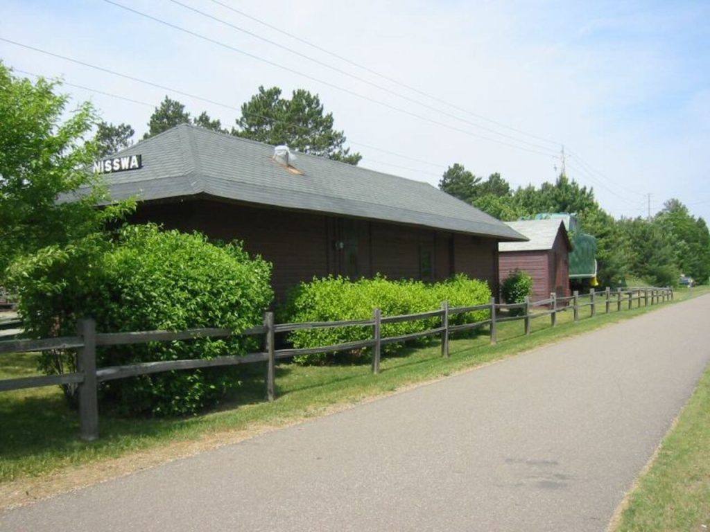
For a weekend built around steady miles and northern Minnesota scenery, the Paul Bunyan State Trail makes a strong choice. At 115 miles, it runs between Crow Wing State Park and Lake Bemidji State Park, passing through a region of forests, lakes, and trail towns. The route follows a former railroad grade, so most of it is level and paved. One exception is a nine-mile stretch through Chippewa National Forest, where rolling hills and curves make for a more demanding ride. Towns along the way offer places to pause, find services, and break a longer journey into manageable sections. The trail also connects with the Heartland State Trail near Walker, making it possible to plan a longer trip across both routes.
Willard Munger State Trail
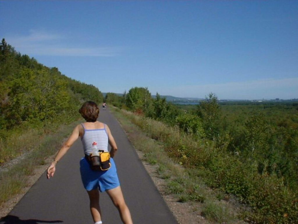
The Willard Munger State Trail gives a weekend ride a clear destination: Duluth and the landscapes around the St. Louis River. Its 70-mile Hinckley-to-Duluth segment passes near Banning and Moose Lake state parks, through small communities, and into the forests and rocky scenery near Jay Cooke State Park. The route includes a crossing of the St. Louis River gorge, where bedrock cliffs bring a striking change from the flatter stretches farther south. Parts of the trail have steeper grades, especially near Rutledge and on the approach between Carlton and Duluth, so it’s useful to plan a section that suits your pace. With trail access in several towns, you can make a weekend of one long ride or explore shorter stretches with stops along the way.
Luce Line State Trail
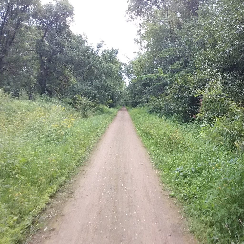
The Luce Line State Trail changes character as it heads west, making it a good pick for travelers who enjoy seeing the landscape shift beneath them. The 63-mile route runs from the wooded edge of the Twin Cities toward Hutchinson and the prairie country beyond. The surface changes, too: sections are crushed limestone, paved, crushed rock, or mowed grass, so it’s worth checking the route details before choosing a bike or planning a full-length ride. East of Hutchinson, the trail passes through stands of maple and basswood; farther west, remnants of tallgrass prairie appear. Several towns along the route provide access points and places to stop. The mix of countryside and small communities makes it easy to shape the trip around a single section or a longer out-and-back.
Central Lakes State Trail
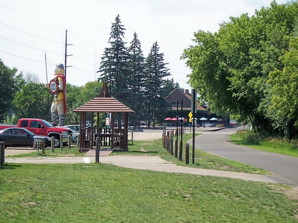
The Central Lakes State Trail links a string of western Minnesota communities with a changing view of prairie, wetlands, lakes, farmland, and wooded hills. Its 55 paved miles run from Fergus Falls to Osakis along a former railroad corridor, making the route nearly level and well suited to a relaxed ride. Communities such as Dalton, Ashby, Alexandria, and Osakis offer convenient places to pause, and parks along the way add picnic spots and restrooms. Near Lake Christina, the scenery includes Seven Sisters Prairie, a group of glacially formed knolls, and the lake is an important stop for migrating waterfowl. In Osakis, the trail connects with the Lake Wobegon Regional Trail, which continues for another 46 paved miles toward St. Joseph. That connection gives visitors the option to turn a weekend outing into a longer regional ride.
Heartland State Trail
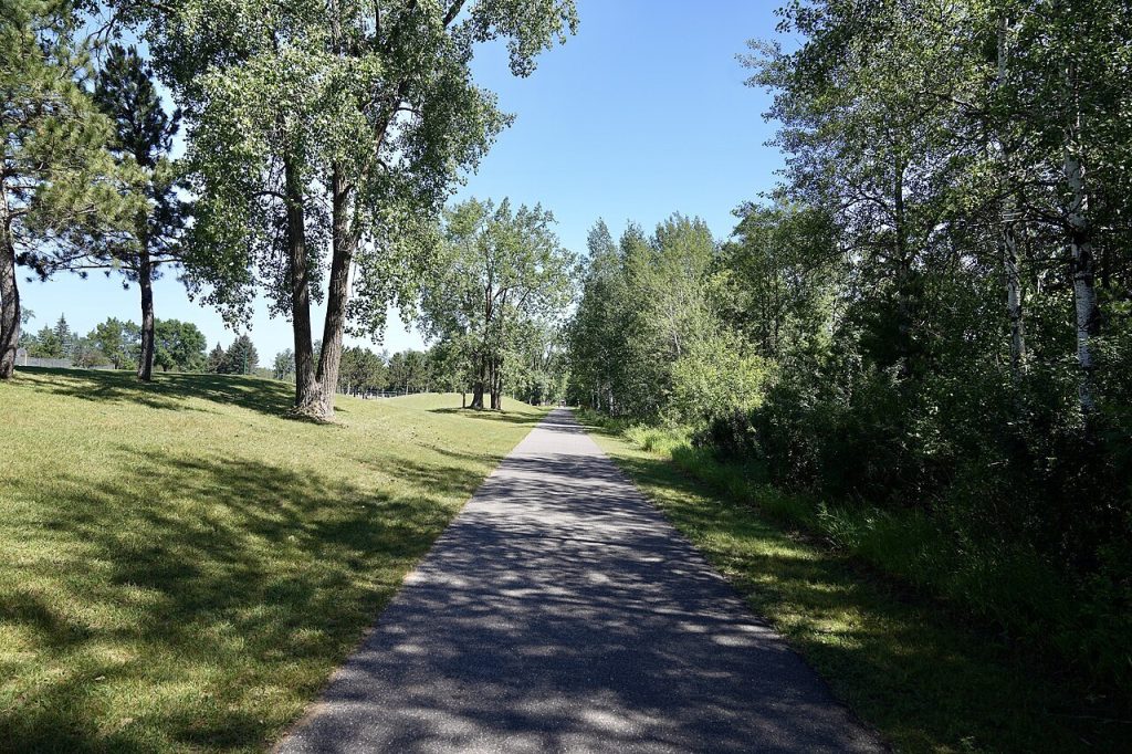
The Heartland State Trail offers a northwoods escape with easy access to lakes, rivers, and small towns. Its 49 paved miles connect Park Rapids and Cass Lake, with Walker near the middle and a link to the Paul Bunyan State Trail. Much of the route follows a level former railroad grade, and views of water and forest appear along the way. Between Park Rapids and Walker, a parallel natural-surface trail is open to hikers, horseback riders, and mountain bikers, giving the route a different feel from the paved path. The trail passes through a region where visitors can plan stops in towns or make the ride itself the main event. Because Heartland meets the much longer Paul Bunyan trail, it can also serve as a shorter standalone weekend trip or part of a broader north-central Minnesota journey.
Root River State Trail
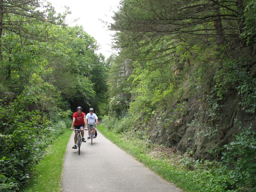
In southeastern Minnesota, the Root River State Trail trades the broad, open feel of the north-country rail trails for wooded valleys, river views, and limestone bluffs. The paved 42-mile route runs from Fountain to Houston, with trail towns including Lanesboro, Whalan, Peterson, and Rushford along the way. Those communities make it practical to plan a weekend with breaks for food, lodging, shops, or local history. The route follows the Root River through the Blufflands, a landscape shaped by streams and rivers cutting into the land to form steep valleys and rock outcrops. The nearby Harmony-Preston Valley State Trail adds another 18 miles and links Preston and Harmony to the Root River route, offering a way to extend the trip. Check the map before setting out, since some sections have steeper grades.