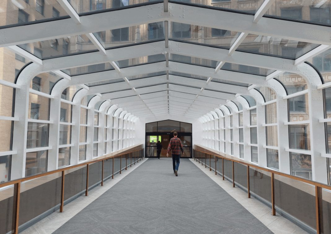

Minneapolis’ skyways are often seen as a clever way to escape Minnesota’s freezing winters, but their history reveals a much bigger ambition. These enclosed pedestrian bridges began as a solution to downtown traffic and gradually evolved into an extensive network connecting offices, restaurants, shops, hotels, and major sports venues. Today, the system stretches across roughly 80 city blocks, offering an unusual way to experience the heart of Minneapolis without constantly returning to street level. From its first bridge in 1962 to the landmark buildings that helped shape its growth, here are six surprising facts about the skyways that reveal why they are about much more than staying warm.
Minneapolis Built Its Skyways to Ease Crowded Streets, Not Just Escape the Cold
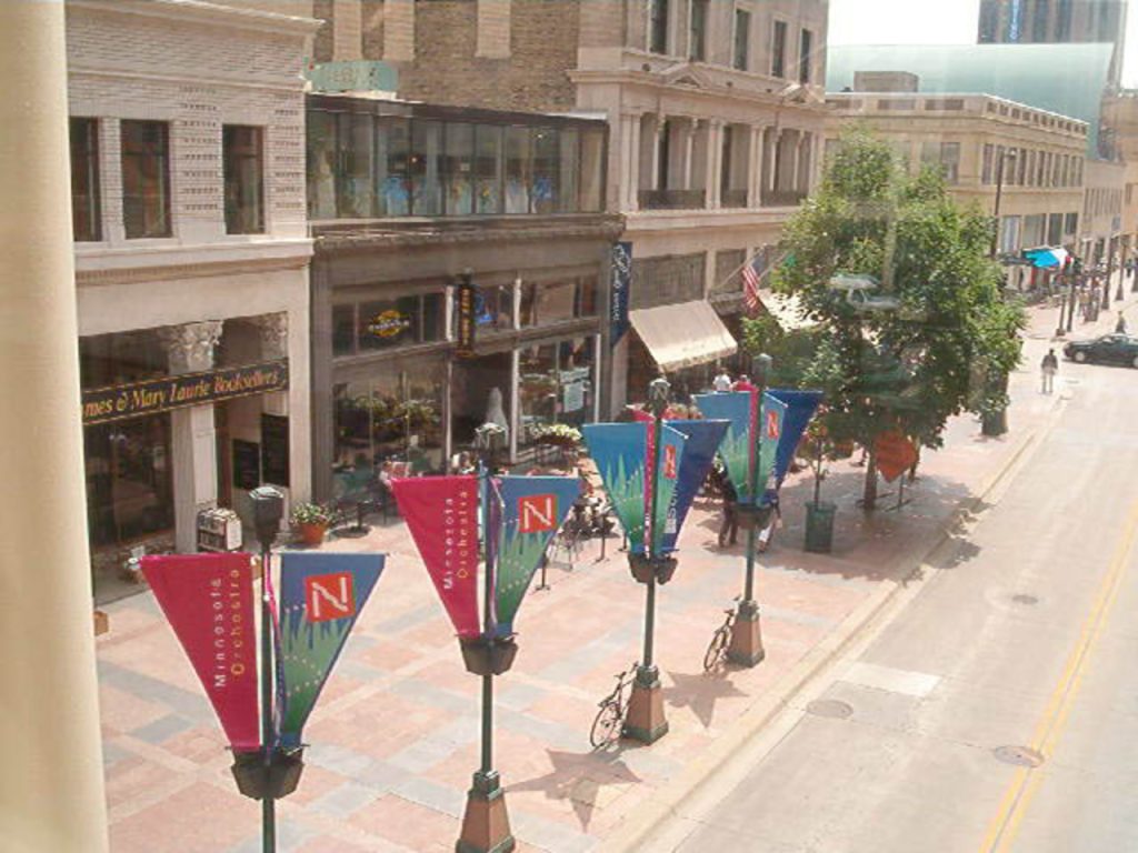
Minneapolis’ enclosed walkways may seem like a natural response to Minnesota’s freezing winters, but weather protection was not the original reason behind their creation. When the city’s first skyway opened in 1962, planners and business leaders saw an opportunity to move pedestrians away from increasingly crowded sidewalks and streets. This would improve pedestrian safety while helping traffic flow more efficiently during the automobile boom. Downtown property owners also recognized a financial advantage: elevated walkways could draw shoppers and office workers into connected buildings, increasing retail activity, property values, and rental income. The idea gained momentum after the first connection proved popular, and additional bridges gradually linked more buildings. Protection from harsh weather became one of the system’s biggest attractions, but the original vision was also about reshaping how people moved through downtown. The Minneapolis skyways eventually became an important feature of the city’s urban identity, demonstrating how transportation planning and commercial interests can combine to transform a downtown district.
The First Skyway Opened in 1962, but It No Longer Exists
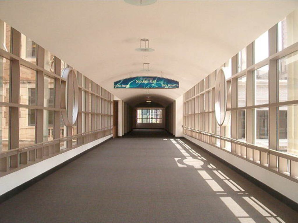
The beginning of Minneapolis’ skyway system comes with an unexpected twist: the original bridge is gone. Opened in 1962, the city’s first skyway connected the newly developed Northstar Center to the Northwestern Bank Building across Marquette Avenue. The connection quickly proved popular with pedestrians, encouraging downtown developers to consider similar links between neighboring buildings. However, the pioneering structure did not survive the city’s changing skyline. It was demolished during construction of the Norwest Center in the 1980s, a building now known as the Wells Fargo Center. Although the original bridge disappeared, its influence continued as the skyway network expanded across downtown Minneapolis. The Northstar Center project was especially significant because it demonstrated that enclosed pedestrian connections could become a practical part of a commercial development. What began as a single bridge eventually developed into a much larger system linking offices, shops, restaurants, and other destinations. The missing first skyway is a reminder that the network did not appear fully formed. It grew gradually as developers experimented with new ways to connect the city’s buildings.
The Oldest Existing Skyway Has Connected Downtown Buildings Since 1963
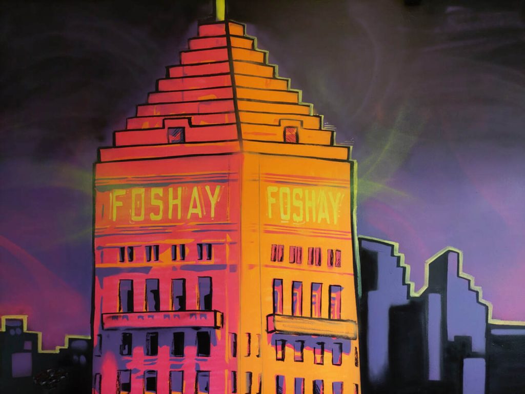
One of the most interesting details about Minneapolis’ skyways is that the oldest surviving bridge is not the first one built. That distinction belongs to the skyway spanning Seventh Street between the Northstar Center and the Roanoke Building, which opened on June 12, 1963. While the original 1962 connection was eventually demolished, this second bridge remains part of the downtown network. Its continued existence offers a tangible link to the early years of the system, when developers were still discovering how elevated pedestrian routes could change the experience of moving through a city. The bridge was part of a broader effort to connect nearby commercial properties and make downtown easier to navigate on foot. As more buildings joined the network, the skyways became useful for reaching offices, retail spaces, and other destinations without repeatedly returning to street level. Today, the 1963 connection stands as a reminder of the system’s early development and the practical ideas that helped establish Minneapolis as a pioneer in enclosed urban walkways.
The IDS Center Helped Turn Disconnected Bridges Into a Connected Network
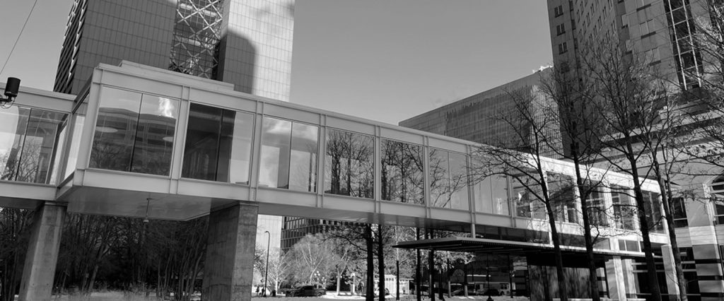
A collection of individual bridges is useful, but a connected network can change the way an entire downtown works. The construction of the IDS Center marked a major turning point for Minneapolis’ skyways. Completed in the 1970s, the building was designed with elevated connections extending in all four directions, helping bring previously scattered sections into a more integrated system. Its central location made it easier for pedestrians to travel between different parts of downtown without repeatedly descending to street level. The IDS Center also introduced Crystal Court, a large public atrium that remains one of the network’s most recognizable spaces. With its open design and connections to surrounding buildings, the atrium became a natural meeting point for people using the skyways. The building helped demonstrate how skyway access could be incorporated into major downtown developments rather than added as an afterthought. As additional bridges appeared, the network grew into an important part of Minneapolis’ commercial and pedestrian infrastructure. The IDS Center’s role illustrates how one strategically designed building can influence the layout and usefulness of a much larger urban system.
The Skyway Network Spans More Than 10 Miles and Connects Around 80 City Blocks
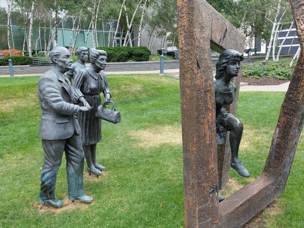
Minneapolis’ skyways are much more than a handful of bridges between neighboring office towers. According to Meet Minneapolis, the system contains more than 10 miles of enclosed, second-level pathways connecting approximately 80 city blocks, making it the world’s largest contiguous network of its kind. The walkways link numerous downtown destinations, allowing people to move between buildings without continually crossing busy streets. Their reach has expanded over decades as new connections were added to accommodate growing developments and popular destinations. One notable addition came in 2016, when skyways connected U.S. Bank Stadium to the existing system. This helped extend the network toward one of the city’s major sports and entertainment venues. Despite its impressive size, the system can be confusing for newcomers because different buildings own and manage their individual connections. Routes may turn unexpectedly, and signs are important for finding the right direction. The network’s scale is precisely what makes it useful, but it also means that visitors should plan their routes rather than assume every bridge leads where they expect.
The Skyways Connect Far More Than Offices, Including Restaurants, Shops and Sports Venues
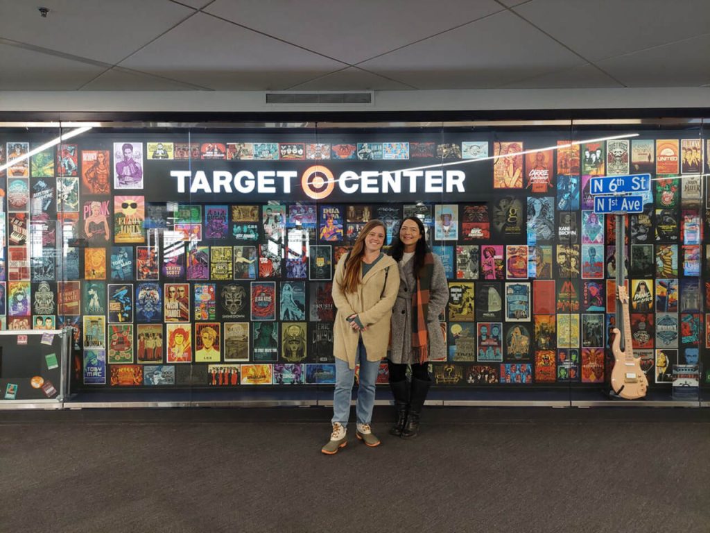
The Minneapolis skyways function as an elevated downtown neighborhood, with many everyday services available without stepping outside. The network connects corporate offices, restaurants, bakeries, hotels, banks, pharmacies, grocery stores, gyms, salons, medical services, theaters, and retail businesses. That variety makes the walkways useful for more than commuting. Office workers can pick up lunch, visitors can reach certain hotels, and downtown residents can shop for groceries while remaining inside the connected buildings. The system also provides access to three professional sports facilities, expanding its role beyond the traditional business district. Popular food options include sandwich shops, sushi counters, salad restaurants, and other quick-service choices, while some connected buildings offer sit-down restaurants. The skyway-level Target store is another useful destination, particularly for people looking for groceries or everyday essentials. However, the network does not operate like a single public building with uniform hours. Individual buildings control access, and many connections generally close in the evening or remain shut on weekends. Checking opening times before setting out is therefore important, especially when planning a meal or visiting a sports event.