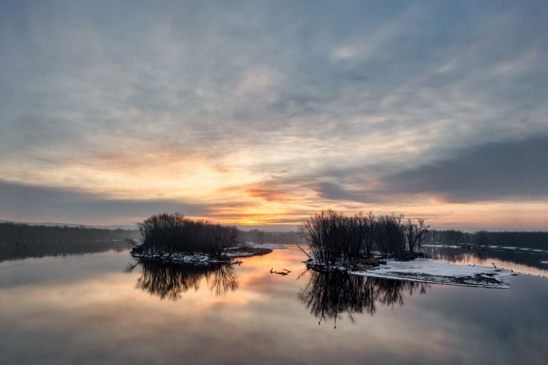

Minnesota’s nickname, the Land of 10,000 Lakes, tells only part of the story behind its remarkable geography. The state has another unusual distinction: its rivers and streams send water in three different directions, connecting Minnesota to Hudson Bay, the Atlantic Ocean, and the Gulf of Mexico. This rare arrangement comes from the shape of the land, ancient glacial activity, and the watershed divides that separate major drainage systems. Near Hibbing, a distinctive geographic feature known as the Hill of Three Waters helps illustrate how these routes diverge. From the northbound Red River to the mighty Mississippi, here are six fascinating facts behind Minnesota’s unusual water geography.
Minnesota Sends Water Toward Three Major Drainage Basins
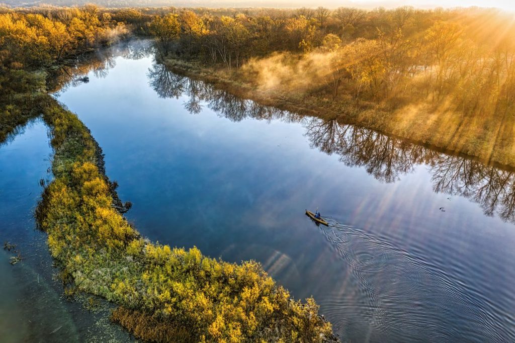
A raindrop’s destination in Minnesota depends largely on where it lands. The state’s landscape drains into three major systems: the Hudson Bay basin to the north, the Great Lakes and St. Lawrence River system to the east, and the Mississippi River basin to the south. Water entering the Red River of the North eventually reaches Lake Winnipeg and the Hudson Bay drainage system. Water flowing into Lake Superior travels through the Great Lakes and St. Lawrence River toward the Atlantic Ocean. Meanwhile, streams feeding the Mississippi River carry water south toward the Gulf of Mexico. These routes are determined by the shape and elevation of the land, with gravity moving water downhill into smaller streams, larger rivers, and eventually major drainage networks. Minnesota’s location is especially interesting because its waterways connect it to several enormous regions of North America. The state’s drainage patterns also matter beyond geography lessons: water quality, runoff, and pollution can affect communities far beyond the places where they originate.
The Hill of Three Waters Marks a Rare Triple Watershed Divide Near Hibbing
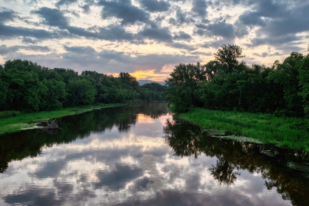
Few geographic features explain Minnesota’s unusual drainage patterns as clearly as the Hill of Three Waters near Hibbing. This area in northeastern Minnesota lies where two major watershed divides meet, directing surface water toward three different drainage basins. Depending on which side of the divide water falls, it can flow toward Hudson Bay, the Gulf of St. Lawrence through the Great Lakes system, or the Gulf of Mexico through the Mississippi River network. The location is associated with the Ojibwe name Hill of Three Waters, and historical accounts say Indigenous people used the area for council meetings. Today, the site lies within the Hull Rust Mahoning Mine, a major open-pit iron ore operation that has substantially altered the surrounding landscape. That makes the location notable for another reason: mining and other human activities can change how water moves across the land. Although the triple divide is not a place where three rivers physically meet, it is a geographic point where the land directs water into three separate drainage systems.
The Red River Carries Minnesota Water North Toward Hudson Bay
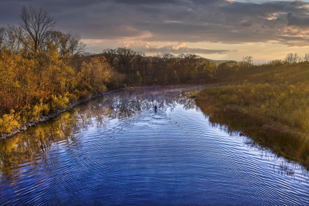
Minnesota’s northwestern waterways follow a route that may seem surprising in a state better known for the Mississippi River. The Red River of the North flows north along much of the Minnesota-North Dakota border before continuing into Manitoba, Canada. It eventually empties into Lake Winnipeg, whose waters drain through the Nelson River toward Hudson Bay. This northward journey is possible because the Red River Valley is exceptionally flat and lies at a relatively low elevation compared with surrounding areas. Much of the valley was once covered by Glacial Lake Agassiz, a vast lake formed when melting Ice Age glaciers blocked drainage routes. When the lake disappeared, it left behind fertile soils that helped make the region an important agricultural area. However, the same flat landscape can make the valley vulnerable to flooding because water drains slowly, particularly when snowmelt and spring rain arrive together. The Red River basin demonstrates that a state’s water does not necessarily flow toward the nearest ocean or the most familiar river. In this part of Minnesota, the land’s gentle slope sends water north into Canada and ultimately toward Hudson Bay.
Northeastern Minnesota Connects to the Atlantic Through the Great Lakes
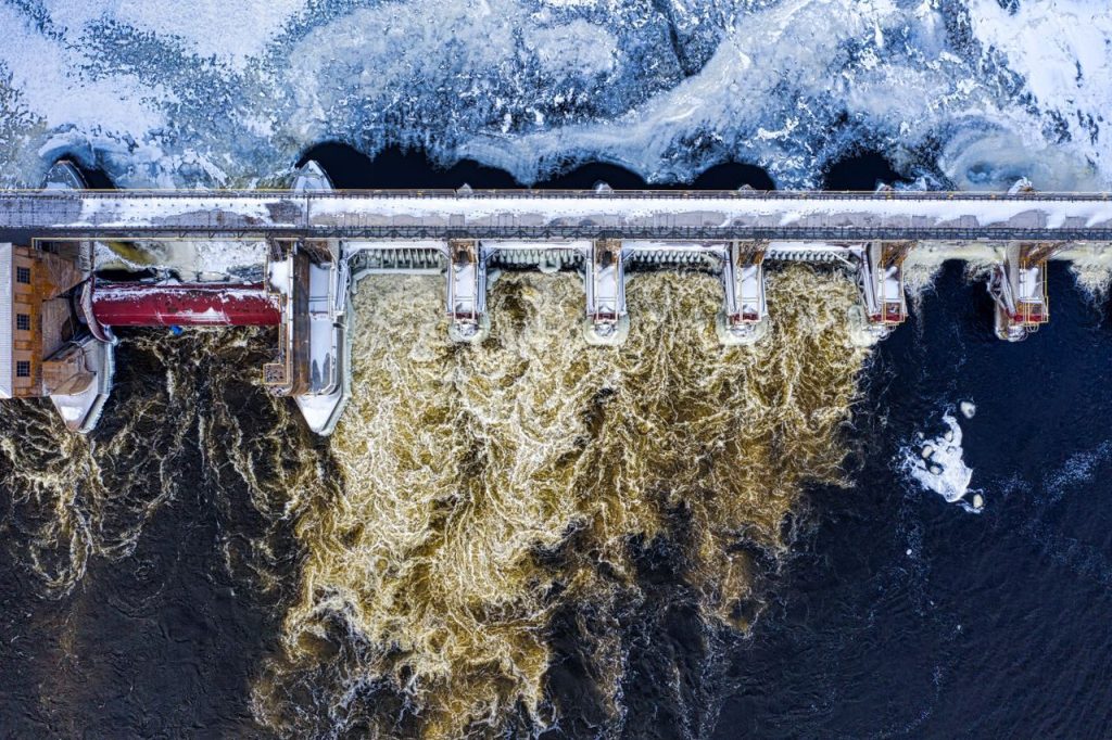
Lake Superior gives northeastern Minnesota a direct connection to one of North America’s largest water networks. Rain and melting snow entering streams that drain into the lake eventually become part of the Great Lakes and St. Lawrence River system, which carries water toward the Atlantic Ocean. This route differs from the Mississippi River system, which transports water south toward the Gulf of Mexico. Lake Superior is the largest of the Great Lakes by surface area, and Minnesota’s North Shore contains numerous rivers and streams that flow into it. The region’s steep terrain helps water move from inland forests and hills toward the lake, creating waterfalls and fast-moving streams along the way. From Lake Superior, water travels through the St. Marys River into Lake Huron, then through the interconnected Great Lakes before reaching the St. Lawrence River. The journey covers a vast area and connects Minnesota’s northeastern landscape to communities and ecosystems far beyond the state. This drainage route is also important for water management, shipping, recreation, and habitat protection. What begins as rain in a Minnesota forest can eventually become part of the Atlantic-bound water system.
Much of Minnesota Drains South Through the Mississippi River
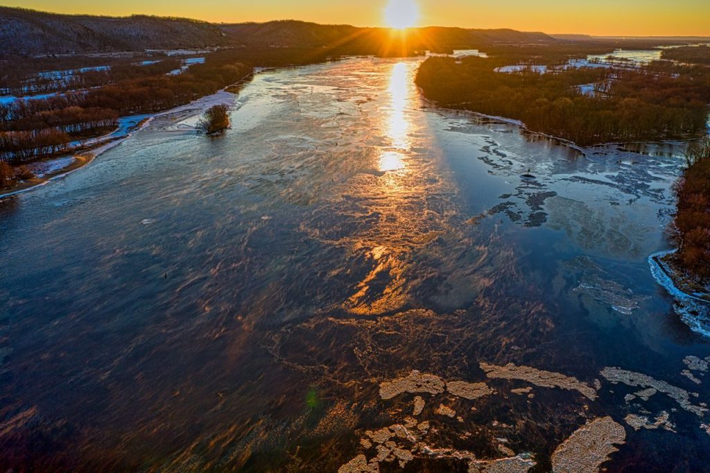
The Mississippi River is the best-known of Minnesota’s major waterways, and its headwaters begin at Lake Itasca in the north-central part of the state. From there, the river flows generally south, gathering water from tributaries and connecting with a vast drainage network that stretches across the central United States. The Minnesota River joins the Mississippi near the Twin Cities, while the St. Croix River enters the Mississippi near the Minnesota-Wisconsin border. These tributaries collect water from large areas of land, carrying rain, snowmelt, and runoff into the main river. The Mississippi then continues south through several states before reaching the Gulf of Mexico in Louisiana. This system has shaped Minnesota’s history, supporting transportation, agriculture, industry, recreation, and wildlife habitats. It also means that local water-management decisions can have effects far beyond state boundaries. Runoff from farms, streets, and developed areas can carry nutrients and other pollutants into streams that eventually reach the Mississippi. Protecting water quality in Minnesota therefore matters not only to local lakes and rivers but also to downstream communities and ecosystems along the river’s long journey to the Gulf.
Minnesota’s Watershed Divides Shape Water Management Across the State
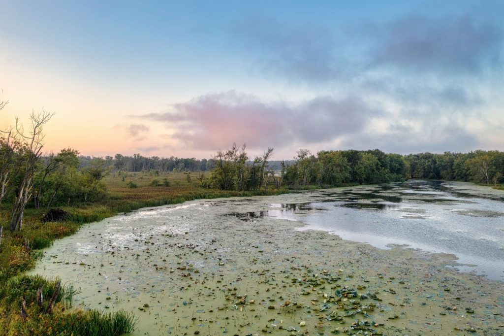
Understanding where water flows is essential to protecting Minnesota’s lakes, rivers, and wetlands. The Minnesota Department of Natural Resources uses watershed maps to show how land drains into interconnected streams, rivers, and lakes. Its traditional statewide mapping project identified 81 major watersheds and approximately 5,600 smaller watersheds, providing a framework for studying water resources and coordinating management. These boundaries are based largely on elevation and the shape of the land, although groundwater movement and human-made features can complicate the picture. Roads, drainage ditches, dams, culverts, and other structures may alter how surface water moves, sometimes shifting where water collects or flows. Watershed planning helps officials identify sources of pollution, understand flood risks, and evaluate how changes in one location may affect water farther downstream. For example, excess fertilizer from agricultural land can enter streams and contribute nutrients to lakes or rivers well beyond the farm where it originated. The state’s unusual drainage geography makes this work especially important because Minnesota’s water is connected to three major continental drainage systems. Decisions made locally can have consequences across state lines and even into Canada.