

Charleston, West Virginia, is moving ahead with plans to improve its riverfront and make city travel safer and more accessible. The Capital Connector Project has reached a new milestone, bringing proposed changes to walking and cycling routes, crosswalks, intersections, streetscaping, stormwater management, and lighting into focus. These improvements aim to strengthen connections between neighborhoods and downtown while creating a more welcoming experience along Kanawha Boulevard.
A Separated Shared-Use Path Will Make Walking and Cycling Safer
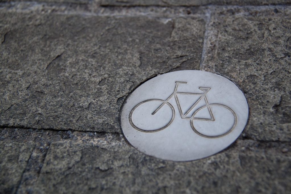
A safer riverfront starts with giving people more room to move without competing for space with passing vehicles. Charleston’s Capital Connector Project plans to introduce a separated shared-use path for pedestrians and cyclists along Kanawha Boulevard, creating a more accessible route for people who want to walk, ride a bicycle, or enjoy the waterfront. The project will cover approximately 3.25 miles from Magic Island to the 35th Street Bridge, with additional improvements along Greenbrier Street. The planned path will expand on the existing pedestrian walkway, which has been relatively narrow in places. By separating people on foot and on bicycles from motor traffic, the project aims to make everyday travel and recreational outings more comfortable. It will also help connect Charleston’s West Side with downtown and the East End, giving residents and visitors better access to destinations along the riverfront.
New and Improved Crosswalks Will Help People Cross More Safely

Crossing a busy road should not feel like taking a chance, particularly in an area where people regularly walk, cycle, or visit nearby attractions. Charleston’s Capital Connector Project includes new and improved crosswalks designed to make crossing Kanawha Boulevard safer and more convenient. Plans also call for high-visibility crosswalk markings and pedestrian signal phases at signalized intersections, helping drivers recognize crossing points and giving pedestrians clearer opportunities to cross. These improvements are especially important along a corridor that currently accommodates several types of road users. Families with children, people using strollers, older residents, and visitors exploring the waterfront could all benefit from better-defined crossing areas. The goal is to create a street environment that considers pedestrians as an essential part of the transportation network rather than treating walking as an afterthought.
Upgraded Intersections Will Improve Traffic Safety
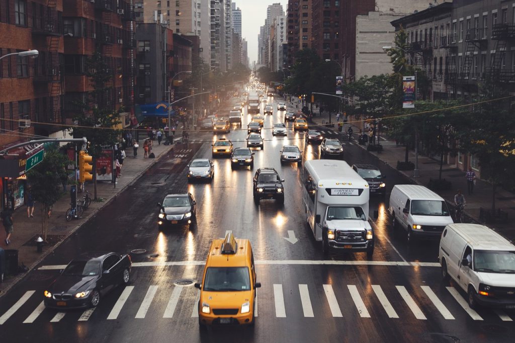
Busy intersections can become difficult to navigate when drivers, cyclists, and pedestrians must share limited space. To address these challenges, Charleston plans to upgrade signalized intersections along the Capital Connector corridor and introduce additional pedestrian-safety measures. The project includes signal modifications intended to improve safety and accessibility, along with traffic-calming improvements that encourage more appropriate driving speeds. The plans also involve reducing the number of traffic lanes along portions of Kanawha Boulevard to create more room for people walking and cycling. These changes are part of a broader effort to transform the corridor into a complete street that serves different transportation needs. Although the precise construction sequence and traffic impacts will be established as the project progresses, the planned improvements aim to make intersections easier to navigate and improve connections between neighborhoods, downtown destinations, and the riverfront.
Streetscaping Will Give Charleston’s Riverfront a Fresh Look
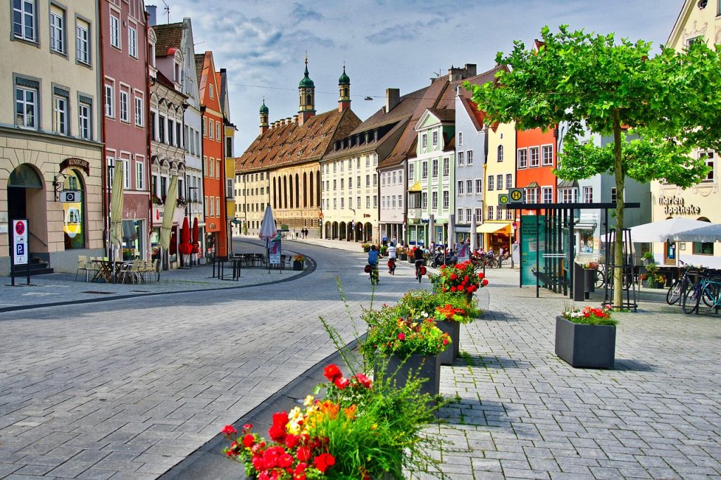
A waterfront can be more than a route for getting from one place to another. With thoughtful design, it can become a welcoming part of everyday city life. Charleston’s Capital Connector Project includes streetscaping improvements intended to make Kanawha Boulevard and the Greenbrier Street corridor more attractive and accessible. Plans include additional greenery and green infrastructure, helping soften the appearance of roadways that currently devote substantial space to motor vehicles. These improvements will complement the planned walking and cycling facilities while supporting a more inviting experience for residents and visitors. Better-designed streets can also make it easier for people to explore nearby civic, cultural, recreational, and commercial destinations. The project builds on the transformation of Kanawha Boulevard West, completed in 2018, and extends that approach through additional parts of the city. Together, the proposed changes aim to create a more appealing riverfront corridor that reflects Charleston’s character as West Virginia’s capital.
Green Infrastructure Will Help Manage Stormwater

Rainwater management is an important part of making urban streets safer and more sustainable. Charleston’s Capital Connector Project includes green infrastructure and stormwater improvements designed to address runoff along the project corridor. Roads and other paved surfaces prevent water from soaking naturally into the ground, allowing rainwater to flow across streets and carry pollutants toward nearby waterways. By incorporating stormwater measures into the redesign, the project aims to improve how runoff is managed along Kanawha Boulevard and Greenbrier Street. The planned green infrastructure will complement streetscaping improvements, potentially allowing vegetation and other features to contribute to the management of rainwater. This is particularly relevant for a project that follows Charleston’s riverfront, where the relationship between urban development and the Kanawha River matters. The exact drainage features and their locations will depend on the final construction plans, but stormwater management is an identified component of the overall infrastructure investment.
LED Lighting and Wayfinding Signs Will Improve Navigation
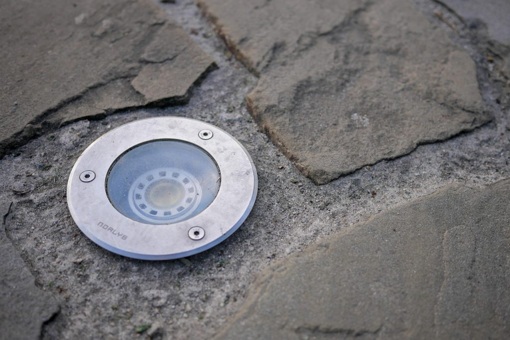
Getting around a city is easier when streets are well lit and directions are clear. Charleston’s Capital Connector Project plans to introduce improved LED lighting and wayfinding signage along the corridor, helping create a more accessible environment for people traveling on foot, by bicycle, or by other means. Better lighting can improve visibility after dark, helping pedestrians and cyclists see their surroundings while making them more noticeable to drivers. Wayfinding signs will serve a different but equally useful purpose by helping people identify routes and find destinations along the riverfront and through downtown. These features are part of a wider effort to improve safety and connectivity between Charleston’s West Side, downtown, the East End, and important civic and recreational destinations. The project also includes improvements to support public transit along the corridor. Together, better lighting, clearer signs, and improved transportation connections are intended to make the area easier to navigate for both residents and visitors.