
American farming could get a major technological boost as NASA and the U.S. Department of Agriculture join forces to improve how satellite data supports agricultural decisions. The partnership aims to combine Earth observations, artificial intelligence, and advanced data systems to strengthen crop forecasts, monitor growing conditions, and assess natural disaster damage. From more reliable harvest estimates to better drought monitoring, these five developments explain how the collaboration could shape the future of farming across the United States.
Satellite Data Could Make Crop Acreage and Yield Estimates More Accurate
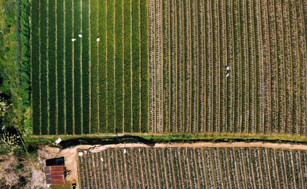
Knowing how much land farmers plant and how much food they are likely to harvest is essential to America’s agricultural economy. NASA and the U.S. Department of Agriculture (USDA) are joining forces to improve these estimates by combining satellite observations, advanced computing and the USDA’s existing agricultural statistics. Satellites can observe vast stretches of farmland, helping researchers track changes in vegetation, identify cultivated areas and monitor crop development throughout the growing season. When these observations are combined with information collected on the ground, they can help improve estimates of planted acreage, harvested acreage and expected yields. This matters because agricultural forecasts influence decisions made by farmers, food processors, grain traders and policymakers. If estimates are inaccurate or arrive too late, businesses may struggle to prepare for shortages, surpluses or changing market conditions. Under the new agreement, NASA and USDA will explore ways to align Earth observation data with the USDA’s statistical needs and improve the methods used to produce agricultural estimates. The agencies will also examine how to validate their models and account for uncertainty. The agreement does not mean satellite measurements will replace traditional agricultural surveys. Instead, the goal is to combine different sources of information to produce more timely and reliable estimates that better reflect conditions across American farmland.
Farmers Could Get Better Information About Crop Health and Growing Conditions
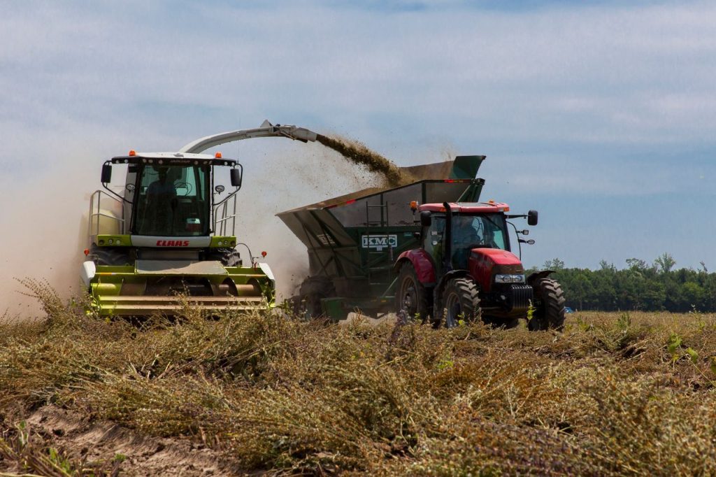
A field can look healthy from the roadside while early signs of crop stress remain difficult to spot, which is where satellite observations can provide valuable information. NASA collects Earth observation data that can help scientists assess vegetation, surface conditions and environmental changes across large agricultural areas. By studying these measurements over time, researchers can identify patterns that may indicate changing crop conditions and investigate where additional monitoring is needed. The new NASA-USDA agreement aims to improve the way these observations and analytical tools are matched to agricultural needs. The agencies plan to explore crop condition indicators, modeling methods and data validation techniques that could strengthen the information available to farmers and agricultural officials. Satellite data can complement field inspections and local knowledge, but it does not automatically explain why a crop is struggling. Water shortages, pests, disease, soil conditions and temperature extremes can all affect plant health, so satellite signals must be interpreted alongside other evidence. NASA has already supported agricultural applications through programs that help researchers and producers use Earth science data. The expanded partnership could make such information more consistent and useful, helping farmers better understand conditions across their fields and identify where closer attention may be needed during the growing season.
Satellite Monitoring Could Help Identify Droughts and Assess Disaster Damage
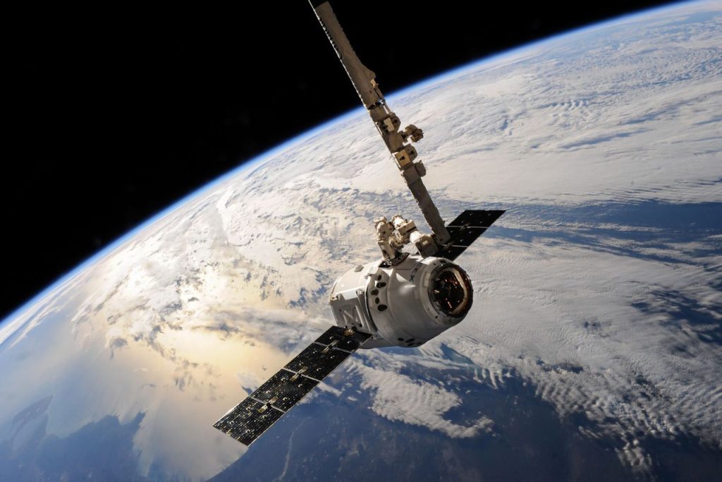
When drought, flooding or severe weather strikes farmland, getting a clear picture of the damage quickly can be difficult, particularly across large rural regions. Satellite observations offer a way to monitor environmental conditions across wide areas, including places where ground-based measurements are limited. NASA’s Earth science systems collect information that researchers can use to assess vegetation changes, soil moisture indicators and other conditions associated with agricultural stress. Through the new agreement, NASA and USDA will examine how Earth observation data and analytical methods can improve assessments of drought and other natural disasters. Such information could help officials understand which agricultural areas may be affected, estimate potential losses and provide more reliable data for planning and recovery. Satellite observations can also help analysts track how conditions change over time, rather than relying on a single snapshot. However, satellites cannot determine every detail of damage on their own. Researchers need to combine remote sensing with weather records, ground measurements and statistically sound agricultural data to understand what happened and how severe the effects may be. Improving these methods could help the USDA deliver more useful information to farmers, ranchers and policymakers when natural hazards threaten production. Better assessments may also support decisions about resource allocation, disaster response and future agricultural planning.
Artificial Intelligence and Geospatial Analytics Could Improve Agricultural Data
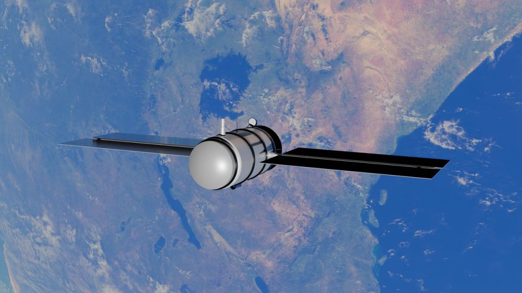
The growing volume of information collected from satellites, weather systems and agricultural surveys creates a challenge of its own: turning large datasets into useful answers. NASA and USDA intend to explore advanced computing methods, geospatial data engineering and machine learning to improve how agricultural information is organized, analyzed and applied. Geospatial analytics helps researchers connect information to specific places, making it possible to compare environmental conditions across fields, counties and regions. Machine learning can help identify patterns in large datasets, although its results still need careful testing against reliable observations. The agreement includes plans for technical exchanges, improved access to NASA data archives, cloud-based geospatial formats and application programming interfaces that could make information easier to use within USDA operations. The agencies will also review algorithms used for crop condition indicators, yield models, acreage estimates and disaster assessments. Validation is an important part of this work because satellite-based models can contain biases or uncertainties, especially when applied to different crops, landscapes or weather conditions. The aim is not simply to collect more data, but to make the information more accurate, accessible and practical for agricultural decision-making. If these efforts succeed, analysts could spend less time managing disconnected datasets and more time producing dependable information about American agriculture.
Better Data Systems Could Help Farmers Make More Informed Decisions
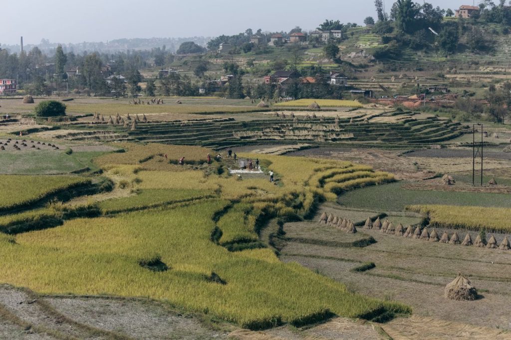
Reliable agricultural information can make a difference long before a crop reaches harvest, influencing decisions about planting, irrigation, spending and risk management. NASA and USDA’s new agreement is intended to strengthen the data systems behind those decisions by improving the quality, timeliness and usefulness of agricultural information. The agencies will work to connect NASA’s Earth observation capabilities with the USDA’s knowledge of farming and its established statistical programs. Better estimates of crop acreage and yields could help farmers and businesses understand production trends, while improved drought and disaster assessments could provide useful context when conditions change unexpectedly. The partnership also supports the USDA’s broader data modernization efforts, which aim to reduce unnecessary burdens on producers and improve the information used across the agricultural sector. Still, the agreement establishes areas for cooperation rather than promising an immediate new satellite service for every farmer. Any practical benefits will depend on how successfully the agencies develop, test and integrate their tools into existing systems. Farmers will continue to rely on local experience, field observations and advice from agricultural specialists, with satellite-derived information serving as an additional source of evidence. By bringing space-based observations and agricultural expertise together, the partnership could help make the information supporting American farming more dependable and easier to use.