Tracking invasive Burmese pythons in Florida’s Everglades is no easy task. These powerful snakes can disappear into dense vegetation and wetlands, making them difficult for researchers to locate and study. Now, scientists with the U.S. Geological Survey are testing drone technology that could help them follow tagged pythons more efficiently. The research could offer valuable insights into snake movements, breeding behavior, and the ongoing threat these predators pose to native wildlife. Here are six important details behind the effort.
A 16-Foot, 147.9-Pound Burmese Python Is Helping Scientists Test New Tracking Technology
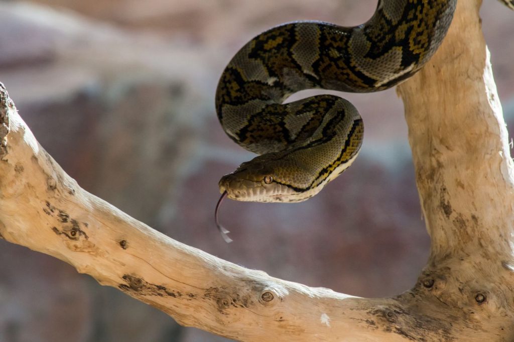
A giant snake is at the center of a research effort that could change how scientists monitor invasive wildlife in Florida. On September 23, 2026, researchers working in the Greater Everglades Ecosystem released a female Burmese python measuring 16 feet long and weighing 147.9 pounds after fitting it with a radio transmitter. University of Florida interns handled the snake’s release while biologists from the U.S. Geological Survey (USGS) operated a small uncrewed aircraft system, commonly called a drone. The exercise allowed researchers to evaluate whether drone-mounted radio-tracking equipment or cameras could help locate tagged snakes more efficiently. The python was not released as part of an effort to introduce more snakes into the wild. Instead, it was already part of a scientific study designed to understand and manage the established invasive population. The test represents an effort to improve how researchers collect information about these difficult-to-find reptiles.
USGS Is Testing Small Drones to Track Invasive Pythons Across the Everglades
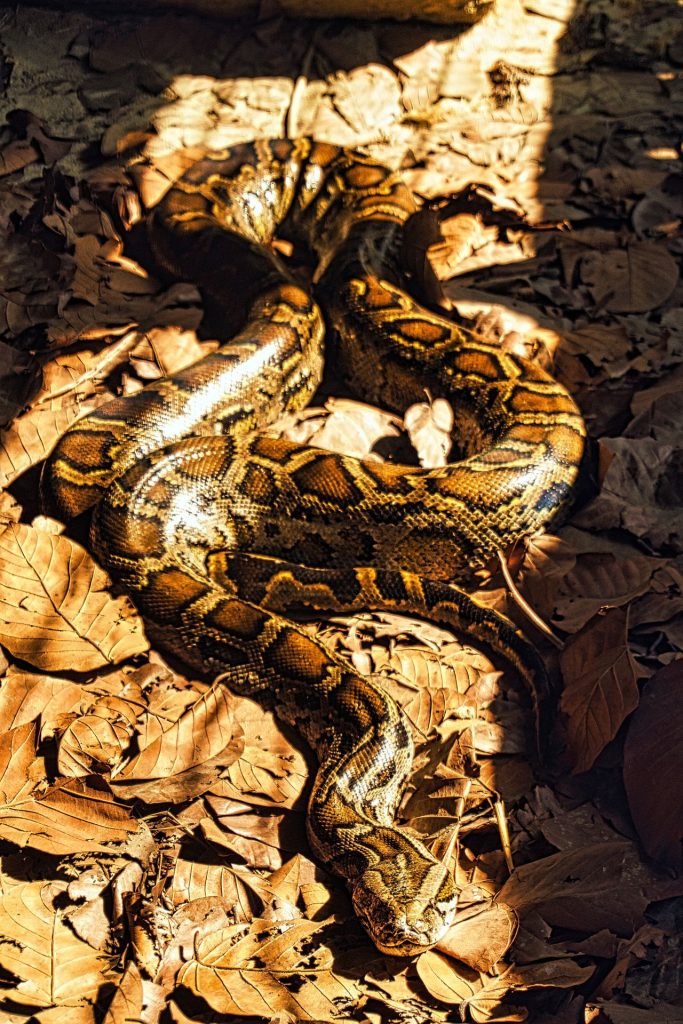
Finding a Burmese python in the vast Everglades can be difficult, even for experienced wildlife researchers. These snakes blend into their surroundings and often hide in wetlands, thick vegetation, and other habitats that make ground searches challenging. To address this problem, the USGS is evaluating small uncrewed aircraft systems equipped with radio-tracking technology or cameras. The goal is to determine whether researchers can locate tagged snakes from the air instead of relying exclusively on teams moving through difficult terrain. The research involves the Greater Everglades Ecosystem, including areas such as Big Cypress National Preserve, where scientists have been studying python movements and survival. The aircraft are intended to support existing research methods rather than replace them entirely. The technology remains under evaluation, and scientists must establish how well it performs in different habitats before determining its broader usefulness for invasive-species management.
Drones Could Reduce the Time, Labor, and Cost of Tracking Hidden Snakes
Traditional python tracking can require researchers to travel through difficult terrain repeatedly to locate individual snakes carrying radio transmitters. These trips take time, involve considerable fieldwork, and can expose research teams to challenging environmental conditions. Drone-mounted equipment could make some of this work more efficient by helping scientists detect radio signals from above or collect useful information with cameras. If the approach proves effective, researchers may be able to locate tagged pythons more frequently, improve the quality of movement data, and spend less time conducting certain ground searches. The potential benefits extend beyond convenience. Better information about where snakes travel and how they use different habitats can help scientists understand their behavior and improve future management strategies. However, drones are not a guaranteed solution. Vegetation, terrain, signal limitations, battery life, and weather can all affect their usefulness. Researchers are testing the technology to establish whether these advantages can be achieved consistently in the Everglades.
Radio-Tagged Scout Snakes Can Lead Researchers to Other Pythons
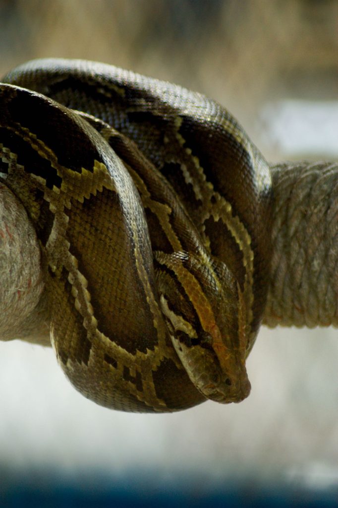
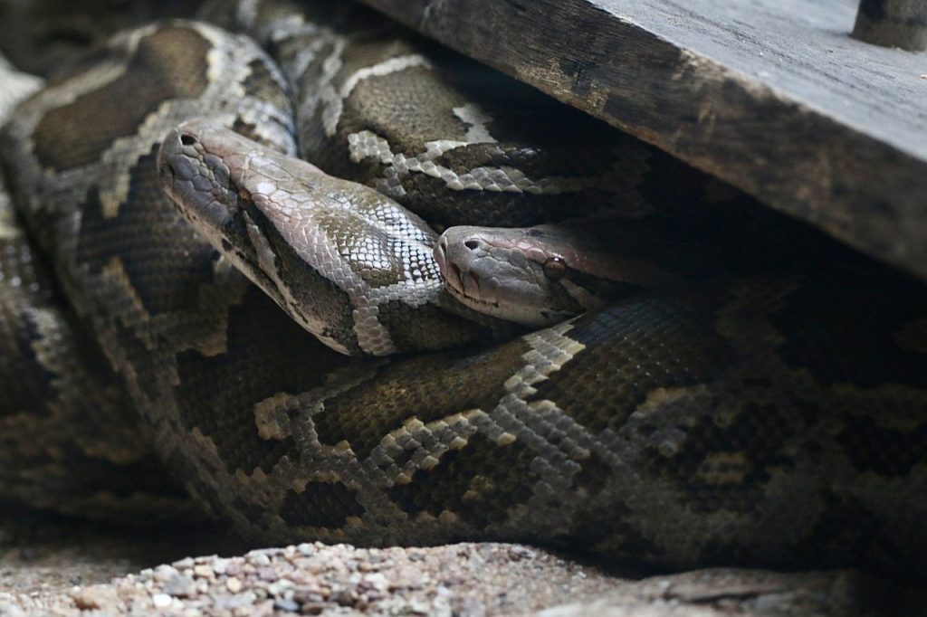
One of the more unusual methods used to study invasive Burmese pythons involves using selected snakes to help researchers locate others. Scientists call this approach the scout snake program, and it builds on the idea that a tagged animal’s movements can reveal where additional pythons may be present. Researchers fit selected snakes with radio transmitters and monitor their locations over time. During the breeding season, tracked animals can lead scientists toward areas where multiple pythons gather to reproduce. These encounters may allow researchers to locate additional snakes, collect biological information, and sometimes find nests for further study. The program also helps scientists investigate movement patterns, habitat use, and reproductive behavior. Drone-mounted tracking equipment could make locating these tagged scout snakes easier, particularly in areas that are difficult to reach on foot. Still, a tagged python does not automatically lead researchers to another snake. Its movements provide useful clues, and scientists must investigate those locations to determine what other animals may be present.
Burmese Pythons Pose a Serious Threat to Native Everglades Wildlife
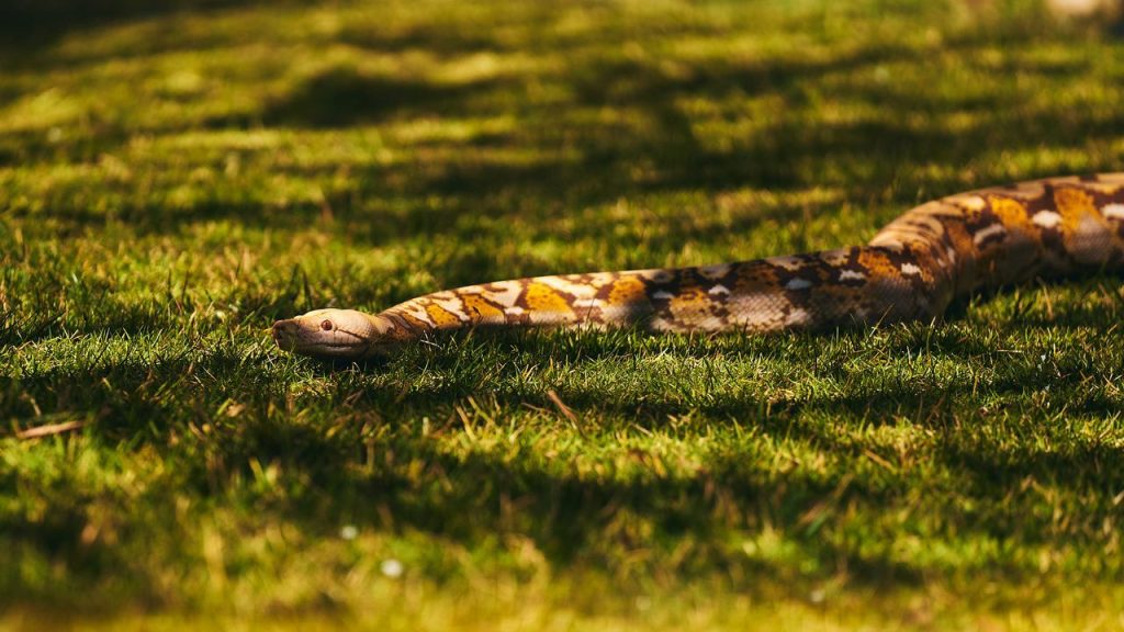
The effort to improve python tracking is driven by the damage these invasive predators can cause to South Florida’s natural ecosystems. Burmese pythons are native to Southeast Asia, but a breeding population became established in southern Florida following the introduction of snakes associated with the pet trade. The Everglades provides a suitable environment for them, with extensive wetlands, abundant hiding places, and a range of potential prey. These large constrictors eat mammals, birds, and other reptiles, putting pressure on native wildlife populations. Research has linked the spread of Burmese pythons to severe declines in several mammal populations in parts of Everglades National Park. Their secretive behavior and ability to move through difficult terrain make them especially challenging to monitor and remove. By improving tracking methods, scientists hope to learn more about their distribution, movements, and breeding patterns. That information can help wildlife managers make better-informed decisions about where to concentrate control efforts and how to protect vulnerable native species.
Researchers Must Prove Drone Tracking Works in Difficult Wetland Conditions
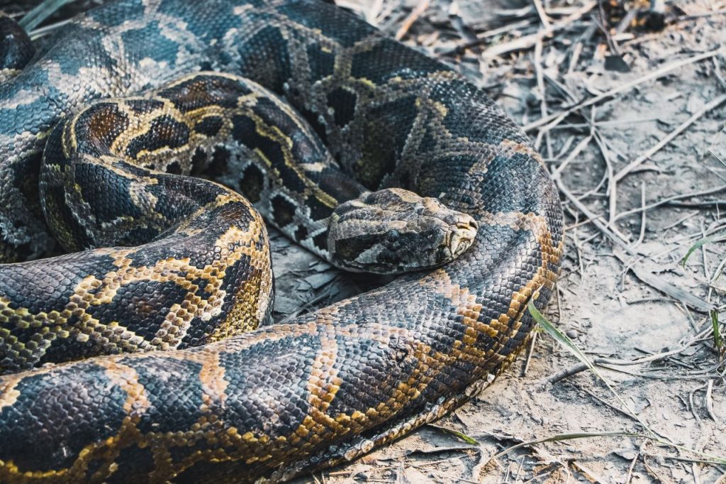
Although drone technology offers promise, scientists still need to establish how reliably it can locate radio-tagged pythons in the Everglades. The region includes dense vegetation, shallow water, marshes, and other landscapes that can complicate wildlife monitoring. A drone may cover an area differently from a ground team, but its effectiveness depends on the equipment used, the strength of the radio signal, and the conditions in which it operates. Researchers also need to determine whether aerial tracking can deliver information often enough to improve existing studies while keeping fieldwork practical and safe. The USGS has described the technology as being evaluated for its ability to improve detection, data collection, efficiency, and staff safety. That distinction matters because testing a new tool does not mean it has already been proven effective in every situation. If the approach works well across different habitats, it could strengthen long-running efforts to understand python behavior and support invasive-species management throughout the Greater Everglades Ecosystem.